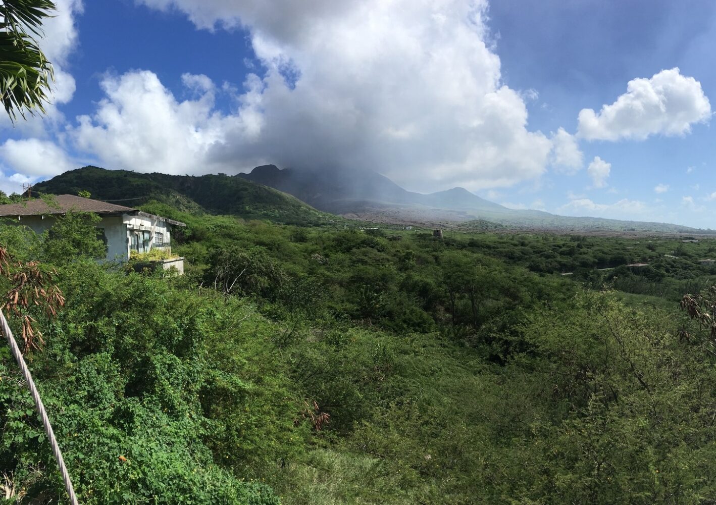
1 July, 6am:
Antigua and Barbuda Meteorological Services has issued a high wind advisory for Montserrat as major hurricane Beryl passes through the south-east Caribbean.
The tightening pressure gradient due to the storm’s passage is creating strong gusty winds, the Disaster Management Coordination Agency (DMCA) has said.
The forecast for Montserrat is wind from the east of 17 to 28 miles per hour with strong gale-force gusts up to 43 mph.
In a Facebook post late on Sunday evening, the DMCA urged residents to secure loose, light outdoor items, which can be blown away, and caution should be taken when driving.
They should also avoid exposed elevated places, the post said.
The main locations likely to be affected are exposed, coastal waters and elevated, open terrains on the windward side of the island.
Exercise caution
“The direct wind threat level is generally minimal to life, livelihood, property and infrastructure,” the DMCA continued.
However, “these winds could make some outdoor activities uncomfortable, if not outright dangerous”.
A high wind advisory means strong sustained winds in the range of 25 to 31 mph with higher gusts imminent or occurring.
“Gale-force wind gusts are expected that can affect your balance; it’s advisable to avoid exposed elevated areas or getting too close to precarious positions like cliff edges, given the forecast conditions.
“High winds could create dangerous falling or blowing objects,” the DMCA said.
Potential impacts could include injuries, very hazardous seas, soil erosion, localised disruptions of some businesses, and disruptions to outdoor and sporting activities.
Other impacts are likely disruptions of transportation – air and especially sea, vehicular accidents and financial losses.
Major hurricane
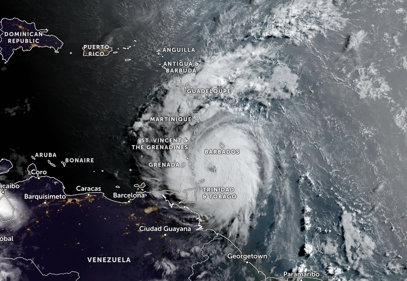
As of 7am on 1 July, the National Hurricane Center reported that Hurricane Beryl is a dangerous Category 3 storm with sustained winds of 120 miles per hour.
The cyclone is barrelling west from the Atlantic Ocean over the south-eastern Caribbean at a speed of 20mph.
Hurricane-force winds are extending up to 35 miles from the centre and tropical-storm-force winds are extending outward up to 125 miles.
The second named storm of the Atlantic hurricane season is likely to bring potentially catastrophic hurricane-force winds, life-threatening storm surges and damaging waves, along with heavy rainfall.
Hurricane warnings are in effect for Barbados, St Lucia, St Vincent and the Grenadines, Grenada and Tobago.
Meanwhile, Martinique and Trinidad are under a tropical storm warnings, and Dominica, the south coast of the Dominican Republic and the south coast of Haiti are under tropical storm watches.
Information on how to prepare for a hurricane is available in the DMCA’s 2024 Hurricane Preparedness Guide here.
Visit the National Hurricane Center for the latest weather updates at www.nhc.noaa.gov